
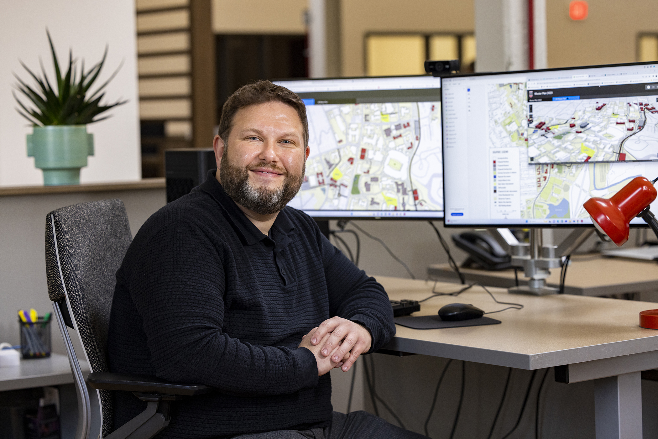
Adam Ghafourian knows the buildings and streets of UGA’s campuses from top to bottom. He can tell you what’s in them, around them and under them.
As GIS coordinator in the Office of University Architects, he’s responsible for collecting and maintaining that data. GIS, or geographic information systems, are computer-based tools used to store, visualize, analyze and interpret geographic data.
“There is so much data that we need to collect,” he said. “We’re working on being a better communicator of that data and being a resource for the university community.”
Ghafourian, who is originally from Oconee County, earned a bachelor’s degree in geography from UGA in 2005. As part of his coursework, he took a GIS class that sparked his interest.
“It seemed like it was such a wide field of things and uses,” he said. “It’s not just plugging in data for data’s sake. It’s actually putting data in for a larger goal.”
While getting his degree, he served as an intern in the Athens-Clarke County Planning Department doing mapping and GIS work. That internship then turned into a full-time position with Athens-Clarke County Public Works and then the Planning Department.
When he saw that UGA had a position for a GIS coordinator in 2019, he jumped at the chance.
“GIS overall is meant to support people who make decisions and do planning work to build buildings,” he said. “The GIS role in all of that is collecting as much data as possible and getting that to the people who make the decisions about these projects.”
Ghafourian is responsible for data on all of UGA’s facilities across 30 counties. In his time here, he’s already been part of several building projects.
“I support a new project that’s being built at the beginning stages all the way until the end when I put the as-built data in,” he said. “It’s neat to see projects go from beginning to end. That’s why I like it.”
Those projects might start with mapping what’s underground, from power, water and power lines to the soil.
“It’s collecting all of this information and data to provide, at the end of everything, a better campus experience,” he said.
There are other important aspects to GIS that serve important purposes. Ghafourian points out that early GIS began, in a sense, as part of public health, keeping people safe from disease outbreaks in the 1800s. By mapping where people were sick, they were able to determine a cause: contaminated well water.
Today, Ghafourian’s more modern approach to GIS keeps people safe by coordinating with the UGA Police Department to pinpoint locations of 911 calls.
The Facilities Management Division also uses Ghafourian’s work for details on infrastructure from transformers to HVAC units, as well as outdoor lighting and benches. Even the Campus Arboretum stems from his GIS work.
Ghafourian also has worked on several thematic maps, as well. He put together an accessibility map that pulls information together in the UGA app. He’s also worked on historic preservation maps and played a role in reestablishing the courtyard at the center of the Holmes-Hunter Academic Building renovations.
“There are many parts of these capital projects that require lots of different skillsets. I am lucky to be a part of a great group of people who are working hard to get it all done,” he said.
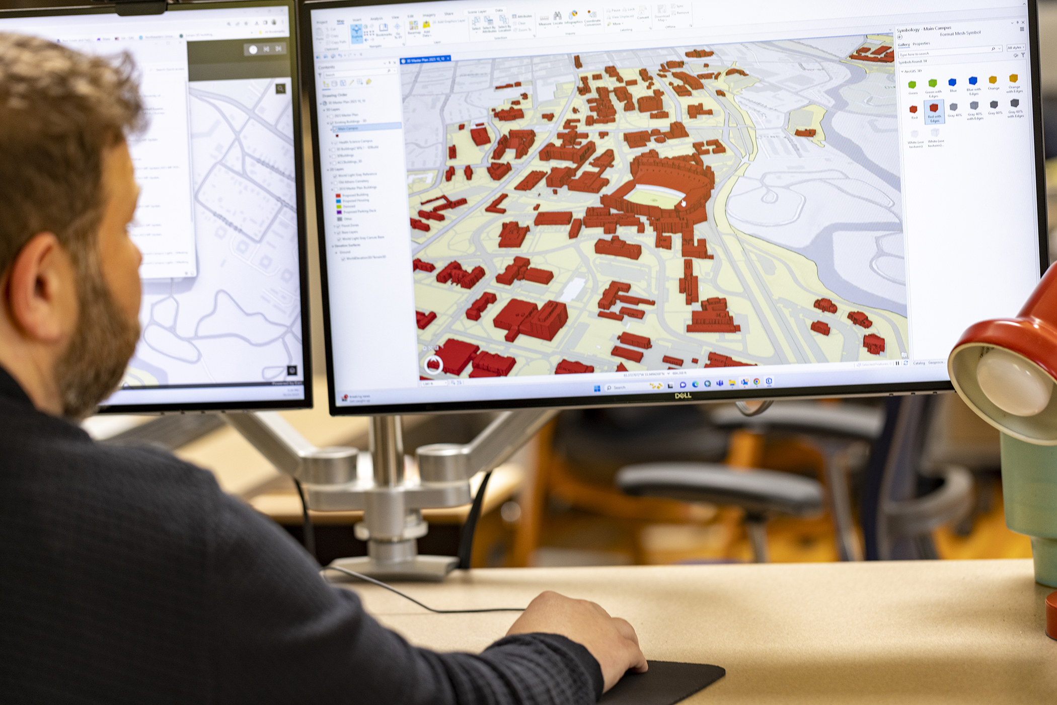
One particular project exciting Ghafourian is a 3D campus map using lidar data that would allow the UGA community and visitors a unique, interactive view of campus. Pulling data and making it visual and accessible is an important part of his work.
“Doing innovative things like the 3D map is really exciting to me because it’s something that is challenging on this scale,” he said.
Most of all, Ghafourian enjoys being a small part of the bigger campus experience.
“The data is useless if you can’t communicate it,” he said. “It’s easy to think of a map as a static thing. But it’s not just that. That one piece of paper has tons of work and information behind it. It’s more than just a line. There is so much more behind it.”