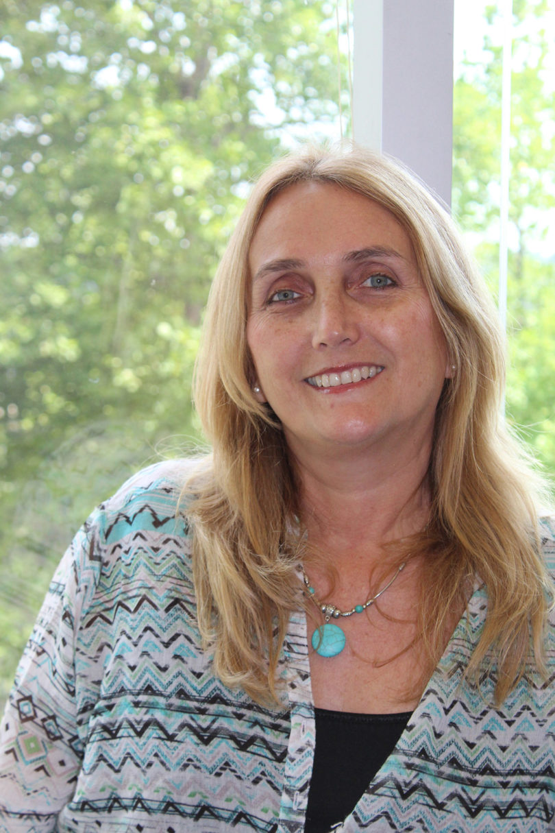
Rosanna Rivero has spent part of her career working with geographic information systems that assist in mapping and visualizing future planning scenarios, including the effects of natural disasters.
Before coming to the UGA College of Environment and Design as an assistant professor, Rivero worked with the Everglades Foundation, a nonprofit organization in Miami, as a natural resource planner, conducting research in projects associated with Everglades restoration.
In the three years she has lived in Georgia, Rivero has spent her time working with officials in Chatham, Bryan, Liberty, McIntosh, Glynn and Camden counties, to research how these communities are preparing for natural disasters. The project is being done in collaboration with the Coastal Regional Commission of Georgia.
As a 2014-2015 Public Service and Outreach Faculty Fellow, Rivero worked with UGA Marine Extension/Georgia Sea Grant and the Carl Vinson Institute of Government to develop programs that would help local governments enhance their environmental resilience. The fellows program, created by the Office of the Vice President for Public Service and Outreach in 2011, is designed for tenure-track and tenured professors to enhance their academic courses, conduct community-based research and apply their academic expertise to outreach initiatives.
Rivero worked on three projects during her PSO Fellowship: coordinating a geodesign workshop for Chatham County; using GIS to support local Georgia communities in their eligibility for the Federal Emergency Management Agency Community Rating System; and teaching a Regional Environmental Planning Studio to UGA graduate students earning their master’s degrees in environmental planning and design.
The geodesign workshop was a three-day collaborative meeting in which participants discussed and agreed upon a design for Chatham County based on long-term environmental factors such as rising sea level and natural disasters. Geodesign is a framework used to improve methods to analyze large land areas and make decisions about conservation and development. The workshop was led by Carl Steinitz, professor emeritus of landscape architecture and planning at Harvard University and an honorary professor at the Centre for Advanced Spatial Analysis in the Bartlett School of the University College London.
Using FEMA’s National Flood Insurance Program Community Rating System, which uses GIS tools to map the effects of flooding in low-lying areas, Rivero helped counties apply for discounted insurance rates offered by FEMA to applicants who take steps to reduce flood risk.
Students who enrolled in Rivero’s course, Regional Environmental Planning Studio, developed proposals to improve environmental resilience of coastal counties in Georgia, specifically Glynn and McIntosh counties. Students took an inventory of the region, examined regional problems and developed proposals to help counties better address regional problems.
Moving forward, Rivero plans to continue implementing the geodesign framework in other coastal counties in Georgia and other regions.


