

This year, UGA hopes to send its technology into space—again. The launch of MOCI: Multi-view On-board Computational Imager will be the second satellite sent into orbit from the university’s Small Satellite Research Laboratory.
Weighing in at fewer than 16 pounds, MOCI (pronounced mo-chee) will not only capture images but check and process those images, extracting data and deleting images that aren’t needed. The satellite also will use feature detection and matching software to process them and send data back to the research laboratory.
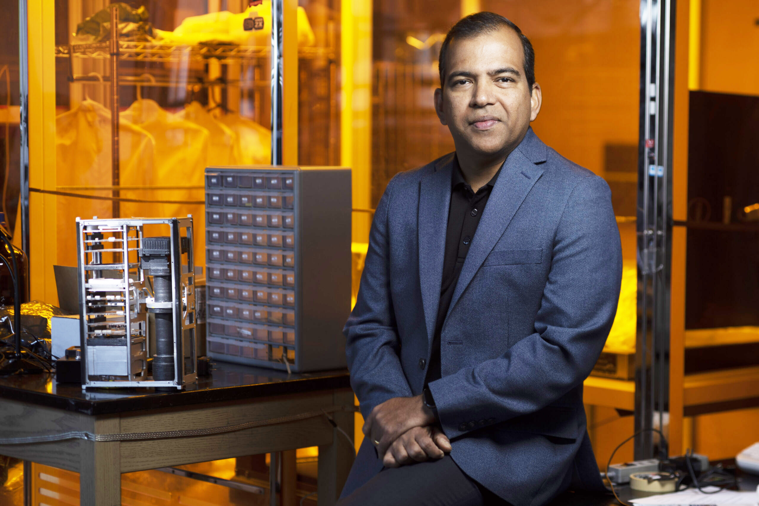
“Whatever the scientists typically run on the machines here in our labs, we want that AI model to run on the satellite,” says Deepak Mishra, Merle C. Prunty, Jr. Professor in Geography in the Franklin College of Arts and Sciences and the director of the satellite lab. “We are really pushing the limit of space AI.”
At less than two feet tall and only a few inches wide, storage is limited on satellites like MOCI. Processing data on board not only increases efficiency but also makes the most of available space. The images the satellite captures are then used to enhance terrain awareness and understand terrain features and phenomena along the Georgia coast. From sediment plumes to algal blooms, these images and the data collected by the satellite provide insight into environmental changes, coastal development, and other natural events.
“A lot of people are interested in what UGA is doing because we occupy a unique space in the AI conversation,” Mishra says. “We’re not looking up into space. We’re looking down to Earth.”