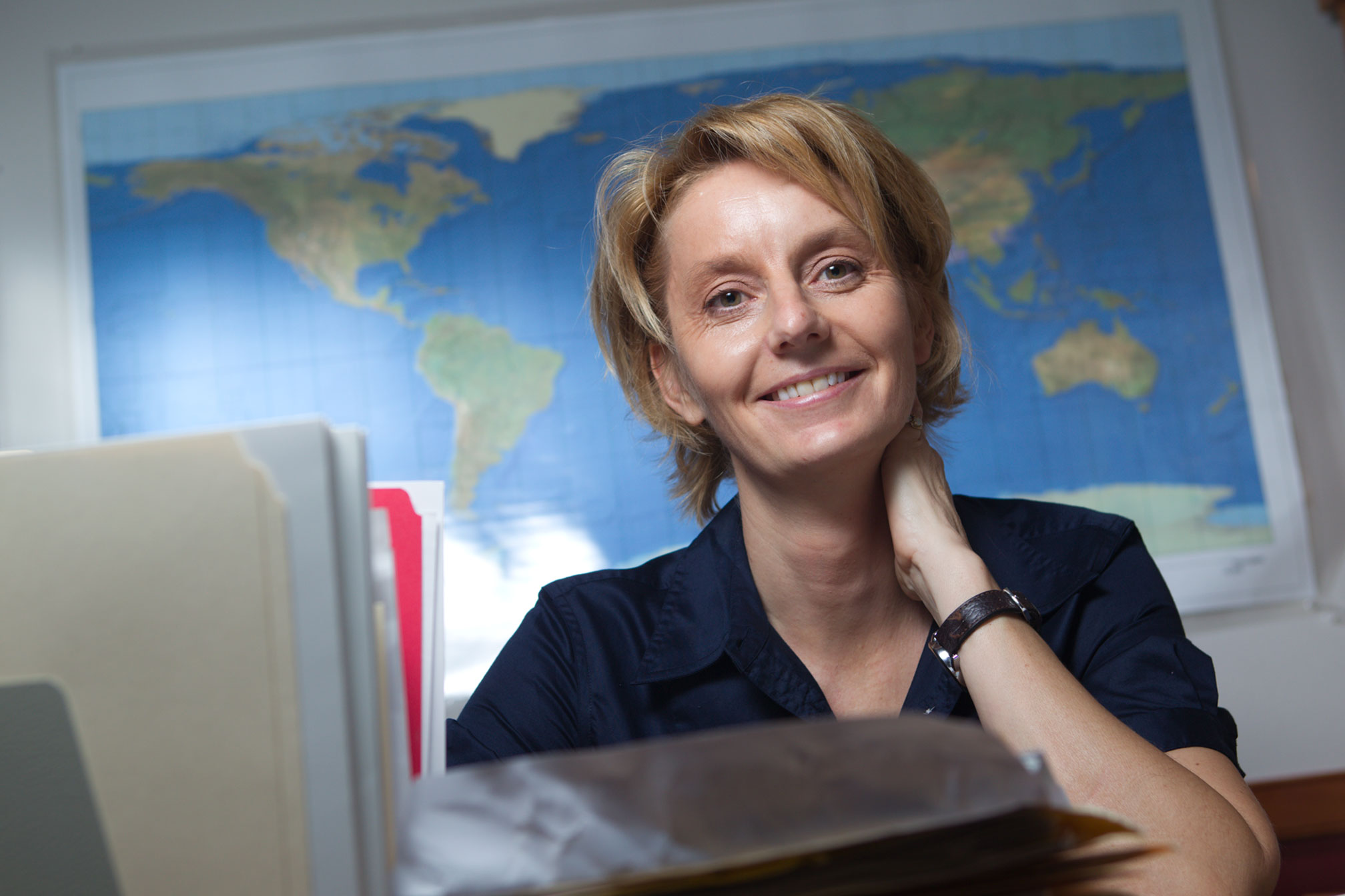
Karen Payne must like jigsaw puzzles.
Whether it relates to hurricane season in the Gulf or global famine relief, she spends much of her time bringing together digital information piece by piece.
As a senior public service associate with the Carl Vinson Institute of Government, Payne uses Geographic Information Systems remote sensing technologies to help organizations worldwide that are involved in humanitarian aid and disaster relief.
These spatial technologies can integrate hardware, software and data to transform and manage all kinds of geographically referenced information, like roads, bodies of water, administrative boundaries and the extent of a disaster.
The institute’s Information Technology Outreach Services Division helps public sector organizations use technology to improve their operations and has been providing GIS services to humanitarian-related entities for more than a decade through a contract with the U.S. Agency for International Development.
Recent projects that Payne has been involved in include the development of global road data to contribute to Open Street Map and Columbia University for use in humanitarian activities and refinement of efforts to track Somalian refugee movement for the United Nations High Commission for Refugees.
“Our service mission is really two-fold and includes creating Web-based applications that address specific needs now and serving as a data repository moving forward,” Payne said. “We want to help make sure that our client groups can access critical information easily so aid and relief can move quickly to where it needs to go.”
Maintaining a Web portal to digital maps and relevant information from across the globe is another important part of Payne’s job.
“Prior to the official start of hurricane season, we reviewed all our related maps and data and contacted our partners to make sure that the information we have available is as up to date as possible,” she said. “People trust us with their data and know that we will be good stewards of it.”
A native of Athens, Payne had her first exposure to GIS technology while completing her Ph.D. in geography and engineering at Australian National University.
“I had to be familiar with satellite imaging for my studies,” she said. “My interest and experience grew from there.”
She held several positions in environmental field sensing before coming to UGA’s Institute of Ecology as coordinator of a project mapping state-wide distribution of plants, vertebrates and protected lands. She founded the Marine Extension Service’s spatial technology lab before coming to ITOS in 2007.
As information technology has advanced, so has the global movement toward sharing digital data expertise or “crowd-sourcing,” according to Payne.
“This trend has contributed significantly to our ability to develop and maintain up-to-date images and information,” she said. “I am currently managing a crowd-sourcing project for the World Food Program involving more than 20 volunteers worldwide who are working to digitize features found on 400 topographic map sheets of North Korea.”
The project will ultimately create such data layers as settlement points, transportation methods, and rivers and lakes to be used in famine relief and mine clearance operations.
“I feel very fortunate to be working in a community that values so highly the use of information technology as a tool for making the world a better place,” Payne said.