
The Carl Vinson Institute of Government’s Information Technology Outreach Services Division provides Geographic Information Systems remote sensing technology services primarily to state and local governments to help them improve their operations. However, they have been providing the technology to support worldwide humanitarian efforts for more than a decade through a cooperative agreement with the United States Agency for International Development.
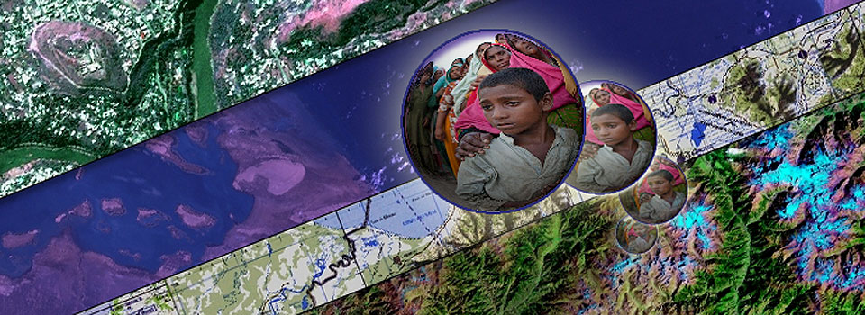
The spatial technologies can integrate hardware, software and data to transform and manage all kinds of geographically referenced information, like roads, bodies of water, administrative boundaries and the extent of a disaster.
“Our service mission related to the humanitarian work is twofold and includes creating web-based applications that address specific needs now and serve as a data repository moving forward,” explained Karen Payne, Vinson Institute faculty member. “We want to help make sure that our client groups can access critical information easily so that aid and relief can move quickly to where it needs to go.”
For example, United Nations officials based in Kenya were concerned with the length of time it was taking them to keep up with the movement of displaced populations in Somalia. Although she was thousands of miles away, Payne was able to help create an application that could process their existing data and create visualizations of population movement in seconds.
Maintaining a web portal to digital maps and relevant information from across the globe is another important part of work. “Prior to the official start of hurricane season, we reviewed all our related maps and data and contacted our partners to make sure that the information we have available is as up-to-date as possible,” said Payne.
“The Institute GIS specialists provide consistent leadership and resourcefulness in satisfying the unique and complicated needs of the humanitarian community,” said Nate Smith, USAID Office of Foreign Disaster Assistance GIS coordinator. “We particularly value their ability to link organizations with capacity to those with needs.”
As information technology has advanced, so has the global movement toward sharing digital data expertise, or “crowd-sourcing,” Payne said.
“This trend has contributed significantly to our ability to develop and maintain up-to-date images and information,” she said. “We are currently managing a crowd-sourcing project for the World Food Program involving more than 20 volunteers worldwide who are working to digitize features found on 400 topographic map sheets of North Korea.”
The project will ultimately create such data layers as settlement points, transportation methods, and rivers and lakes to be used in famine relief and mine clearance operations.